Want to be part of history? Want to name the new extension on my layout? Of course you do!…

Layout Extension
Bellow are a listen of candidate names which you’ll be able to vote on. They all pay homage to stations that no longer (or are soon not to) exist. You’ll notice all the proposed names are based on locations in North West London’s Metroland. This is to provide continuity with the rolling stock I’d like to use on the new part of the layout.
OPTION 1: “CROXLEY WEST”
Croxley West is derived from the abandoned Croxley Green branch line and it’s intermediate station Watford West both closed to passenger traffic in 1996. Unusually the stations were not officially closed until 2003, when a “temporary” bus service was finally withdrawn. This meant you could buy a ticket to a station with no actual train service for the best part of 7 years.

Watford West: Hywel Williams [CC BY-SA 2.0], via Wikimedia Commons
OPTION 2: “DENHAM HIGH STREET”
Although a station at Denham still exists and is very much open; the name here pays tribute to both the Central Line extension to the area (which was scrapped after the outbreak of World War II) and also to the nearby Uxbridge High Street station which closed in 1939.

Denham Station – Ben Brooksbank [CC BY-SA 2.0], via Wikimedia Commons
OPTION 3: “CASSIOBURY PARK”
Cassiobury Park is the area immediately adjacent to the current Watford Metropolitain Line station. Never truly located in a town-central location, the Watford branch of the Metropolitain Line is not as useful as it could be. It has long been the ambition of TfL and the local council to divert the Met Line onto the form Croxley Green branch line towards Watford Junction. It is predicted the new “Croxley Link” will be open in 2020 when presumably the current Watford station will close.
Current Suburban Watford Station – By Sunil060902 (Own work) [CC BY-SA 3.0 or GFDL], via Wikimedia Commons
OPTION 4: “BATCHWORTH”
Batchworth pays reference to the village and Junction on the Grand Union Canal formerly served by Rickmansworth Church Street. Rickmansworth Church Street was the only station located at the end of a 4 mile spur from Watford High Street and the Croxley Green Branch. Having to compete with the better connected Rickmansworth Met station, Church Street was no doubt decided to be surplus to requirements. It was therefore closed to passenger traffic in 1952 and to freight in 1967.

Location of Church Street – By CnbrbOpenStreetMap contributors (Own workopenstreetmap.org) [ODbL, CC BY-SA 2.0 or CC0], via Wikimedia Commons
VOTE:
Which ever name you collectively choose will be the name of the new extension station!
– Andy Carter

_station_geograph-3408080-by-Ben-Brooksbank.jpg)
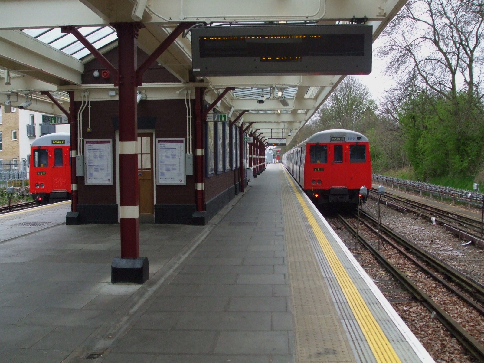
[…] waiting areas. This was certainly most prevalent on the lesser used branch lines (just look at Croxley Green for the ultimate station diet!). You could use this to your advantage by modelling the transition […]
[…] friend of mine recently spotted this on sale at Beaulieu and, seeing as the extension to my OO Gauge Layout is based loosely on the Croxley Green branch, I simply had to have […]